Blog Post
Commission Can Learn from Maps Created by Citizens and the Independent Mapmakers

On July 22, 2022, the Ohio Supreme Court declared the fifth set of state legislative districts unconstitutional gerrymanders and told the Ohio Redistricting Commission to work on creating new maps for Election 2024.
Unfortunately, since then the Ohio Redistricting Commission has failed to take action. After some wrangling over who could call the meeting, Gov. Mike DeWine called for the Ohio Redistricting Commission to reconvene on Sept. 13.
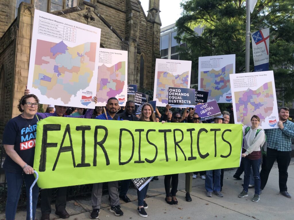
The Commission has a number of maps drawn by citizens that the members can use as inspiration. Each of these maps is considerably fairer than those struck down five times by the Court.
The following are just a sample of the many compliant and fair maps submitted to the Commission with links to view districts and examine analytical ratings.
State legislative maps proposed by citizens:
- The Citizens Redistricting Commission composed of Ohio leaders created Ohio House and Ohio Senate districts based on input from community members. Check out the Ohio House districts and Ohio Senate districts. Get more detailed analysis using Dave’s Redistricting App (Ohio House and Ohio Senate).
- Fair Districts Ohio sponsored a mapmaking competition. Winners include:
- Geoff Wise – Check out the Ohio House districts and Ohio Senate districts. Get more detailed analysis using Dave’s Redistricting App (Ohio House and Ohio Senate).
- Parnav Padmanabhan– Check out the Ohio House districts and Ohio Senate districts. Get more detailed analysis using Dave’s Redistricting App (Ohio House and Ohio Senate)
- Paul Nieves– Check out the Ohio House districts and Ohio Senate districts. Get more detailed analysis using Dave’s Redistricting App (Ohio House and Ohio Senate).
- Andrew Green, AKA the Ohio Politics Guru also created Ohio House districts and Ohio Senate districts. Get more detailed analysis using Dave’s Redistricting App (Ohio House and Ohio Senate).
In March 2022, the Ohio Redistricting Commission hired two independent mapmakers. These maps could also provide inspiration for the Ohio Redistricting Commission. Prof. Michael McDonald was selected to represent the Democrats on the Commission; Dr. Douglas Johnson, the president of the National Democratic Corporation, was selected to represent the Republicans. These cartographers worked together publicly with cameras livestreaming to create Ohio House districts and Ohio Senate districts that were ultimately abandoned by the Ohio Redistricting Commission. Get more detailed analysis using Dave’s Redistricting App (Ohio House and Ohio Senate).
The provided PDFs of district maps show the likely seat count for Democrats and Republicans given the partisan leaning of each district. Over the last decade, Ohio Republicans have captured about 55% of the statewide vote, while Democrats have secured 45%. Therefore, at the state legislative level, maps should include at least 44 Democratic House seats (out of 99 seats) and 15 Democratic Senate seats (out of 33 seats) to reflect the statewide voting preference.
Using the statewide vote to determine the likely partisan outcome if districts aren’t unfairly manipulated is commonly called “representational fairness” or “proportionality” and is a requirement included in the Ohio Constitution. This measurement is intended to ensure that districts aren’t drawn unfairly or gerrymandered to benefit one political party.
The “compactness” score uses the Reock and Polsby–Popper methods. Both of these metrics are out of a total score of 100. The higher the score, the more compact the district.
Analysis also includes the “efficiency gap,”—a way to assess how “cracked” or “packed” districts are. “Cracking” communities to dilute voter power and “packing” voters of one political party into a district are the fundamental tools for gerrymandering. For the “efficiency gap,” a lower score is better.
Subscribe to Fair Districts News to keep up to date with our efforts.